

Bushwalkers of Western Australia
Winter

Summer
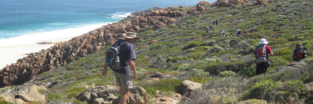
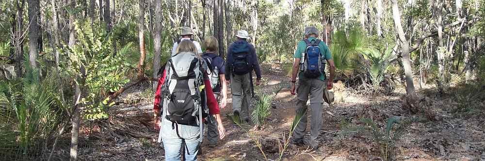
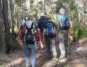
Walking is a year round activity. Bushwalkers of Western Australia Inc (BOWA) based in Perth has a complete annual programme. In Winter (May to October) longer walks of up to 20km in length are undertaken. These require a full day and most of the information about walking presented here applies to these walks. From time to time the Winter programme will include, for variety, a shorter half day walk. In Summer members maintain fitness by shorter walks around the Perth environs which are completed before midday. On almost every Sunday of the year it is possible to sample the experience of walking with our club. How do I get started?


GPS Mapping course (Practical)
Event
- Title:
- GPS Mapping course (Practical)
- When:
- Sun, 30. May 2021, 09:00 h - 12:00 h
- Where:
- Scout Hall Car Park, Perry Lakes - Floreat, WA
- Category:
- Special Event
Description
Learn how to use your smart phone as a navigation device and take advantage of the many walks listed online.
There'll be a 2 hour theory course on Saturday afternoon (venue TBA) and a 3 hour prac on Sunday morning in Bold Park.
Prior setup of your mobile will be required and online instuctions will be provided. This is a Members only activity.
Contact Information
- Name:
- Steve N
- Telephone:
- 0420 224 911
Venue
- Location:
- Scout Hall Car Park, Perry Lakes
- Street:
- Perry Lakes Drive
- ZIP:
- 6014
- City:
- Floreat
- State:
- WA
- Country:
-

Description
Scout Hall within Perry Lakes Reserve. Accessed from the road just south of the Skate Park at the northern end of Perry Lakes Drive, Floreat.